Project Overview
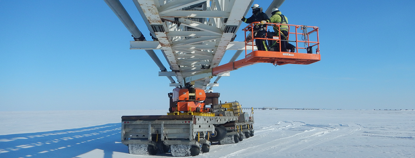
Located 60 miles east of Prudhoe Bay on the North Slope of Alaska, Point Thomson is a plentiful oil and gas field containing an estimated 200 million barrels of natural gas condensate. PND performed myriad investigations and extensive civil design to develop the area, including designing a 5,000-foot-long gravel airstrip, helipad, air operations facility, other ancillary support buildings, and runway with associated lighting, taxiways, and navigation aids.
PND interfaced with the Federal Aviation Administration (FAA) to establish Instrument Flight Rules (IFR) approach procedures and overcame various challenges associated with the design of the helipad, airfield, and airfield access road, ensuring stability and drainage control in the presence of permafrost and wetlands. The development has been operational since 2016.
Our Role
- Civil Engineering: designed a gravel airstrip and associated facilities, plus a temporary helipad to support construction
- Structural Engineering: designed an air operations facility consisting of an airport runway tower, radio communications systems, passenger waiting area, and administrative offices
- Arctic Engineering: accounted for challenging permafrost conditions in design of the airfield and access road in the remote Prudhoe Bay area


Providing Aviation Design and Comprehensive Navigation Aids
PND designed Point Thomson’s airfield and temporary helipad to accommodate B-II aircraft with provisions for large cargo planes and mid-sized helicopters to support the initial construction effort. PND’s design created more convenient access to the remote location, where previous air access was limited to helicopters landing on the beach near the site.
PND designed weather observation and lighting systems to support Wide Area Augmentation System (WAAS)/localizer performance with vertical guidance (LPV) GPS instrument approaches for the inclement weather consistent at Point Thomson. PND’s design included a multitude of navigation aids, including a medium-intensity approach light system with runway alignment indicator lights (MALSR), precision approach path indicator (PAPI), and automated weather observing system (AWOS). PND’s comprehensive scope of work included application of FAA advisory circulars, design of embankments over poor soils, and capital improvement cost estimating, civil engineering, structural engineering, and foundation design for the air traffic control building. The new airfield is well equipped to withstand severe weather and support Point Thomson’s bustling operations.
Feet
length of gravel airstrip
Barrels
of natural gas condensate located within Point Thomson